USAID/Malawi Learn to Perform Staff Present at GIS Event
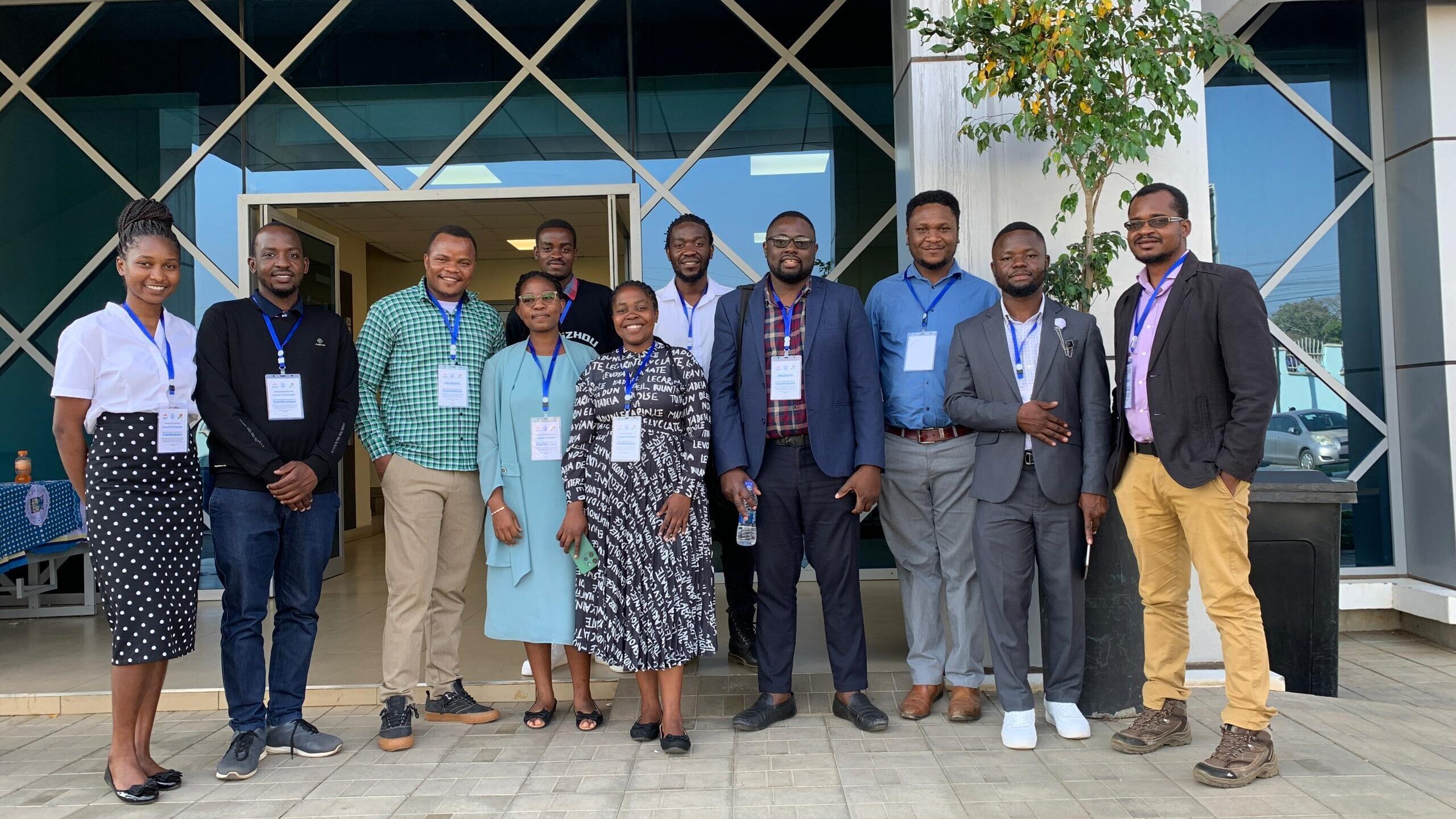
On July 19, 2024, United States Agency for International Development (USAID) Learn to Perform’s Geographic Information System (GIS) Specialists, Leonard Masala and Innocent Sandram, co-presented with USAID/Malawi at State of the Map Malawi, an event organized by YouthMappers Malawi. The event was the first in the country to convene GIS professionals and provided a forum for USAD/Malawi and Learn to Perform to share knowledge and lessons learned on using geospatial data and analysis to drive development results. It also presented an opportunity to learn the latest, cutting-edge advancements in geospatial data collection and analysis and expand networks.
In addition to YouthMappers Malawi, which is part of the global network of YouthMappers supported by USAID’s GeoCenter, participants included representatives from Malawi’s National Spatial Data Center which manages Malawi’s Spatial Data Platform, the Malawi Geographic Information Council, the British Council, Malawi’s National Planning Commission, the Humanitarian OpenStreetMap Team, Africa Drone and Data Academy, and several universities including Malawi University of Business and Applied Sciences, Malawi University of Science and Technology, University of Livingstonia, and the Lilongwe University of Agriculture and Natural Resources.
Learn to Perform, implemented by Banyan Global with our partner, The Mitchell Group, has worked closely with USAID/Malawi over the last two years to strengthen the use of GIS for learning and adaptive management to advance the Mission’s development objectives.